О проекте
«Цифровая Земля – Сервисы» – это инструмент получения объективных сведений о природных активах и хозяйственной деятельности с помощью космических снимков.
Работа с данными ДЗЗ и продуктами в комплексе геосервисов «Цифровая Земля» осуществляется пользователями по индивидуальному или коллективному доступу через геоинформационный веб-портал. Обработка данных происходит автоматизированно с использованием нейронных сетей, статистического анализа и экспертного контроля данных.
For whom
Органы исполнительной власти
Государственные потребители получают доступ к регулярно обновляемым типовым информационным продуктам на всю территорию своего региона. Заказ дополнительных продуктов возможен по установленной квоте. Геоаналитика сверх квоты предоставляется на коммерческой основе.
Крупный и средний бизнес
Продукты для бизнеса формируются на заказ или предоставляются по решению Госкорпорации «Роскосмос».
Общество
Общедоступная информация опубликована в открытом доступе для широкого круга лиц. Дополнительную информацию можно получить на возмездной основе.
Раздел содержит рекомендации по внедрению продуктов в работу, инструкции по использованию и
техническую документацию. Некоторые из примеров использования продуктов системы опубликованы как
наглядное пособие.


Use
Effects of using the "Digital Earth" platform:
- Упорядочивание и оптимизация мероприятий по контролю и надзору
- Цифровизация и принятие решений на основе данных (data-driven)
- Экономия средств и пополнение бюджета за счет штрафов и сборов
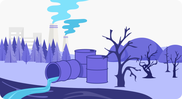
- Профилактика и выявление нарушений в сфере экологии, обращения с природными ресурсами и земельными активами
- Улучшение экологической, социальной и экономической обстановки
- Информационное обеспечение мероприятий адаптации к изменениям климата
- Совершенствование проектов территориального планирования
- Повышение уровня доверия между населением и Правительством региона
Q&A
Как представителю государственного органа власти получить результаты работы сервисов?
Для просмотра готовых продуктов и бесплатного заказа данных по квоте Госкорпорации «Роскосмос»
необходимо получить расширенный доступ к системе. Для этого сначала самостоятельно пройдите
регистрацию в системе. Затем направьте в АО «Терра Тех» по адресу info@terratech.ru
официальное письмо с просьбой расширить доступ для вашей учетной записи. Шаблон обращения можно
просмотреть по ссылке.
Как зарегистрироваться в системе?
Регистрация выполняется каждым пользователем индивидуально. Для входа можно использовать учетную
запись Федерального фонда данных ДЗЗ.
Органам власти рекомендуется использовать единую учетную запись на регион или профильное
министерство/департамент. Убедительная просьба избегать использования личных почт сотрудников
при регистрации и работе с системой.
Какие продукты доступны бесплатно?
Для региональных органов власти типовой бесплатный набор содержит 8 обзорных продуктов, которые
обновляются на регулярной основе целиком на территорию каждого региона страны. Все другие продукты
доступны для представителей региональных органов власти бесплатно по определенной квоте. Квота
устанавливается Госкорпорацией «Роскосмос», исходя из площади и состава востребованных продуктов.
Аналитические материалы на основе космической съемки сверхвысокого разрешения в настоящее время
безвозмездно не предоставляются, их заказ возможен в АО «Терра Тех» на коммерческой основе. Для всех
других пользователей услуги оказываются на платной основе.